The Tertiary Volcanic Province
where else in the UK would you go for your hilly holidays? [1400 words 6 mins
UK geology, from a hillwalking point of view, is pretty old-style stuff.
A mountain-building episode of 400 million years ago gave us Scotland’s mighty Caledonides range: twisted schists of the Scottish Highlands, raised-up ocean sludges of the Southern Uplands, and the resurrected volcanic islands that make up Lakeland and Snowdonia—today we wander around on their eroded-away remains. Only slightly less ancient, a nudge from the top-left corner of Africa raised the limestones and gritstones of the Yorkshire Dales, and the long sandstone ridge of the Brecon Beacons.
Since then it’s only been wind, rain and glaciers grinding everything down to ground level, as well as the sea eating in from the edges. We thought it was all over…
But it wasn’t. An eyeblink in geological time, a mere 60 million years ago, something wonderful happened away out in the West. A whole new ocean, the Atlantic, unzipping itself like a banana along its newly forming mid-ocean ridgeline. And brand new bits of mountain ground started pouring out along our island’s north-western fringes.

Wales, Cornwall, Yorkshire? Forget ‘em. The happening place for the young at heart1 – our only rockforms not tainted by that tired old Mesozoic2, the time of those done-for dinosaurs – is right here. It’s called the Tertiary Volcanic Province.
So what happened back in 60 million BC?
Two continents, Europe and North America, were being tugged inexorably apart: eventually something mid-Atlantic has to break. Resulting in the mid-Atlantic ridge, as black basalt magma from the Earth’s mantle surges upwards out of the crack. But also, cracks open in the ocean on either side, and along the Atlantic edge of the UK – exactly the sort of thing that’s happening in Iceland right now.
The result? Cracks opening in the earth to reveal rivers of lava: black to grey on the surface, breaking to show the red-hot molten rock underneath. Lava lakes spreading over the land. Lava fountains squirting up into the air. Along with some Hawaii-type basalt volcanoes.
And yes, a quick hit of global warming
As the basalt lava reaches the surface, huge quantities of carbon dioxide fizz up out of it. But worse than that: the upwelling convection currents raise the ocean floor itself, bringing stuff called methane hydrate or ‘fire ice’ up to the surface. Where it can degrade to release huge amounts of methane – a short-lived but even more potent greenhouse gas.
One model suggests that the opening of the North Atlantic released 2 trillion tonnes of carbon (6.5tn tonnes of CO2) into the atmosphere over a brief 200,000 year period. And yes, there was indeed an episode of global warming just around then. It’s called the Paleocene/Eocene Thermal Maximum: a temperature rise of 5–8° over those 200,000 years.3 The smallish mass extinction that goes with it opened up environmental niches exploited for the development of us lot, the Primates.
In the diagram below, the PETM is the small but sharp blip on the rising line of the Eocene Optimum. It is the abrupt hit of global warming that’s closest to us in time, so a comparison point for our current one.
PETM: 6.5 trillion tonnes CO2 over 200,000 years: 5–8° C temperature rise
Currently: Since 1751 the world has emitted over 1.5 trillion tonnes of CO2 (most of it since 1950). Temperature rise so far: 1.5°C
Diagram by Robert A. Rohde (Wikimedia Commons). The right hand scale records oxygen isotope ratios, but the corresponding temperatures are given in the boxes top left and bottom right.4
The lava lands
But leaving aside the existence of us great apes in the first place, the opening of the Atlantic offers even more benefits to ramblers, scramblers and mountaineers. The basalt rock-melt forms a free-flowing lava – low viscosity is the technical term, like spilt milk rather than spilt treacle. It spreads across the landscape in flat layers, then cools quickly, to give a rock that’s smooth and slippery, crumbly and friable.

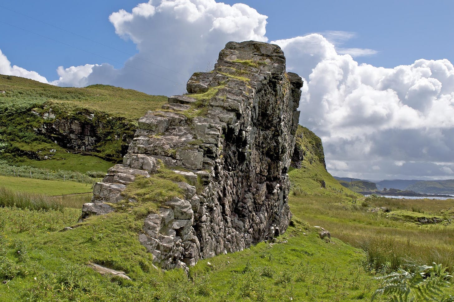
Not much good for climbers, then: but it does break down quickly into fertile soils with wildflowers. The result, all along the northern peninsular of Skye, is smooth-flowing, grassy high ground, ending abruptly at a cliff edge. The result is weird but walkable: known as ‘trap landscape’ from the Nordic word for a step.
And where the lava lies thick and uniform, it cools and cracks in the regular hexagonal columns of the Giant’s Causeway and Staffa Island off the end of Mull.

I’ve put in too many pictures, so if you’re reading this as an email it may cut off before the bottom. “Read in browser” is up at the top of the post somewhere, or click here. You shouldn’t need to subscribe.
The UK’s last volcano
The UK’s very last volcano, a mere 50 million years ago, was on the Island of Mull. The shape of it stands out on Google Earth, and even more so on the small-scale geological map. Ben More, on the rim of it, is our highest hill made out of basalt.

The map also shows some of the dykes of basalt rock that emanate outwards from the island, eventually penetrating about two thirds of the UK. The Cleveland Dyke, cutting right across the Yorkshire Moors, is a tiny strip of the Tertiary Volcanic Province successfully invading England. The English break it up for roadstone.
Meanwhile, where the upwelling basalt was able to melt some of the quartz-feldspar continental crust on its way up, the Tertiary Volcanic Province also offers up the UK’s youngest granite. Antiquity has its atmosphere, but it’s youth that has the glamour… The Mountains of Mourne and of Arran are granite at its liveliest, steep sided and pointy, usually improved with a provocative little tor to top them off. And the Arran ones are linked as well by high-level granite ridges.
The black magic of gabbro
The basalt rock gives those grassy heights with the wildflowers: but it’s pretty awful to climb or scramble about on.
But sometimes, just sometimes, the same black magma cools slowly, deep underground in the magma chamber underneath an active volcano. Slow cooling means big crystals, and big crystals mean rough, compact rock that’s so grippy it wears out your fingertips and the rubber soles of your climbing shoes. When it’s used for counter-tops of Ritazza coffee shops it’s called ‘black granite’. But on mountainsides it’s called gabbro, and it’s the greatest.
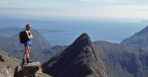
Strange and stunning basalt landscapes. The spikiest bits of granite in our islands. And the blackest, scrambliest mountain range south of Norway. That’s the Tertiary Volcanic Province for you.
Or else, I guess, you could creep away to Yorkshire or Cornwall.
By ‘young at heart’ I mean less than 66 million years old. Or as the basalt and gabbro themselves would put it, 66 million years young.
The Cenozoic Era or ‘Age of Mammals’, starts after the dinosaur-killing meteor impact of 66 million years ago. It used to consist of a single geological period, the Tertiary, but is now divided into three, the Paleogene, Neogene and Quaternary. If you want to slice it finer, the Quaternary subdivides into epochs: the Pleistocene (the Ice Ages), the Holocene (the last 12,000 years) and possibly the Anthropocene (since the first radioactive fallout deposited into the rock record, 70 years ago).
Meanwhile, the Paleogene is subdivided into the Paleocene, Eocene and Oligocene. Yes, the Paleocene and the Paleogene are as separate and distinct as, say, dolomite and dolerite rocks, or tuff and tufa. The International Union of Geological Sciences keeps track of all this stuff so we don’t have to.
Regional uplift, gas hydrate dissociation and the origins of the Paleocene Eocene Thermal Maximum John Maclennan, Stephen M Jones, Earth and Planetary Science Letters, Volume 245, Issue 1-2. Temperature and the matching CO2 concentrations are measured, accurately, from Oxygen and Carbon isotopes in seabed foraminifera (microbes).
Eocene Optimum: The closure of the Drake Passage (south end of South America) and the opening of the Panama Canal link between Atlantic and Pacific meant completely different ocean currents, allowing warmth from the rest of the world to seep into Antarctica. With dark rocks rather than white ice over Antarctica, the earth absorbed more heat overall and kept on heating up.


Fascinating stuff. And a very enjoyable read. Thanks.
The Hebrides are definitely my favourite place for hilly holidays, but speaking of geology, apart from cliffs, I also enjoy cliffs! Now, I want to make - strong if I may 😅 - request for reprints of Sandstone and Sea Stacks and Granite and Grit! I purchased mine of WOB and despite showing them off with my friends I am not going to lend them! Despite being continuously perster to do so after excitedly showing what I learnt or taking them with me to Monkash Beach. Please please can we have more!